
Membership of Type allows unlimited access to our online library. Join to support new research and writing on the design of the built environment.
You can read more about membership here.
Already a member? Login to your account to avail of unlimited downloads.

Membership of Type allows unlimited access to our online library.
Join to support new research and writing on the design of the built environment.
You can read more about membership here.
Individual Membership Fees
Individual membership is available on a monthly or annual basis.
The fee is €10/month or €99/year.

Southside block
Take one block of the Dublin Docklands (known as City Block 11 in the Dublin Docklands SDZ): bound by Sir John Rogerson’s Quay, Lime Street, Cardiff Lane, and Hanover Street East. It’s an architectural casserole of historic, Celtic Tiger, and contemporary architecture. Five of the recent additions have been designed by one architecture firm, who I work for — Henry J Lyons (HJL). This hasn’t resulted in a uniform language across all four buildings. Each brief called for a distinct solution, each design was a different experiment. Walking around the block in preparation for this article, I can associate the architectural moves and material choices with individual designers in our practice.
The view from Samuel Beckett Bridge showcases this collage of varied architectural styles. The newly-unveiled shipping office on the corner of Lime street and Sir John Rogerson’s Quay by HJL adds a splash of colour and acts as a marker to the boundary of the SDZ. The protected structure of W.H. Byrne’s British and Irish Steam Packet Co. from 1910 is a contrasting remnant of the docklands’ industrial heritage. The ‘3’ building at 28-29 Sir John Rogerson’s Quay, designed in 2005 by Burke Kennedy Doyle, evokes similar Celtic Tiger developments along the Liffey. The Tropical Fruit Warehouse of 1852 has a contemporary form floating above a former industrial edifice. To the bookend of this composition, The Ferryman pub is a thriving descendant of a once working-class institution.

The vista along Misery Hill consists of a jagged series of angles, providing landscaped niches to the streetscape. To the southern edge of the site, a newly formed pedestrian route has been created from Grand Canal Square to Townsend Street. The landscape flows from Hanover Street into the urban block and internal public realm, forming Whitaker Square at the centre. As set out in the SDZ, a new pedestrian connection is formed from Lime Street into the block. This additional permeability effectively means the side-streets act as an extension of the pedestrian realm. This encourages the public to meander through the city streets and explore their surroundings. Vehicular access points to service the buildings are limited to the perimeter of the block, enhancing pedestrian safety.
Northside block
A comparable block on North Wall Quay is bound by Commons Street, Mayor Street, and Guild Street. It includes Clarion Quay, an architecturally acclaimed development completed in 2002 by Urban Projects. Clarion Quay won a silver medal for housing from the Royal Institute of the Architects of Ireland (RIAI) in 2004. The award statement read “The result is a fine example of the art of place making which integrates subtle security within an appropriate urban design strategy” [1].
Much of the city block retains its original charm; however it can be argued that the place making intent of Clarion Quay is lacking in other parts of this block. Excise Walk has a pleasant rhythm of building volumes, balconies, and window openings that animates the street. Mayor Square features at the centre of the development as the primary public space. While it is neatly formed on plan, the pedestrian experience is somewhat cluttered in reality. On the ground, a significant emphasis would appear to have been placed on the flow of vehicular traffic. Street furniture and bollards are strategically placed to accommodate and direct the movement of cars.

As I walk around the perimeter of the block, it is clear the focus for public interaction is on the primary streets and spaces only. At times, the architecture directs you to one location or route, only for this to be cordoned off by a defensive gate. The secondary environment of side streets is functional and has the car at its heart. Nondescript streetscapes provide multiple car access-points to private basement parking. They have little to engage public interest and appear as an inner service-route to the buildings. If anything, the abundance of CCTV posts creates a sense of discomfort, prompting one to exit onto the main thoroughfares again. This inhospitable design, the ‘one street deep’ approach, is widespread in development of this era, as Andrew Kincaid noted of the redevelopment of Smithfield in Post-colonial Dublin: "The housing is also, not surprisingly, faux exclusive, with its fortress architecture, apartment buildings overlooking private courtyards, roof gardens for residents only, and high-security electronic gates, all of which feed into the logic of a pioneering entrepreneurial class". [2]
The future city
The redevelopment of the Dublin Docklands promised a new type of urban living environment, an alternative to urban sprawl that would breathe life back into the heart of Dublin. The DDDA described it as "a world-class city quarter paragon of sustainable inner-city regeneration". [3] After fifteen years of gestation and the added vision of the SDZ objectives, this is becoming closer to a reality. It may only work, in part, because Dublin has enough well-paid workers able to afford a high-end living experience in the Docklands, but the public components of their neighbourhood have become a gift to the whole city. For example, Grand Canal Square has become a destination in Dublin to rival some of its historic parks, one of the surprisingly few areas where people can relax in well-designed public space free from traffic. It is less traffic-centric in design than Mayor Square. Crucially, with new development in the Docklands SDZ, there is a continuity of high-quality public realm beyond the main streets, to side-streets, alleyways, and publicly accessible courtyards. Hopefully this ethos will inform how we maintain and adapt all our city in the future.

Future Reference is supported by the Arts Council through the Architecture Project Award Round 2 2022.
1. Clarion Quay: Residential Development (2003 - 2004), [website], 2004 Clarion Quay: Residential Development | RIAI.ie (The Royal Institute of the Architects of Ireland), (accessed 9th October 2022).
2. A. Kincaid, Postcolonial Dublin: Imperial legacies and the built environment, University of Minnesota Press, 2006, p. 185.
3. Dublin Docklands Development Authority, [website], Dublin Docklands Development Authority | Dublin Docklands, (accessed 9th October 2022).

As a consultant at Buro Happold, Erida Bendo advises clients on climate-responsive design at building and urban scales, drawing on microclimate modelling, environmental analysis and spatial data. Alongside this, she leads computational design for the firm's Sustainability team, building the tools and workflows behind evidence-based decisions. She holds a Master's in Architecture from the Polytechnic University of Tirana and a Master's in Computational Design from IAAC in Barcelona, where she has also taught. Over the better part of an hour we covered speed, scepticism, and why the most important climate knowledge still sits between the disciplines. What follows is our conversation, lightly edited.
AM: Before we get to AI, how would you describe your role, and the main climate challenges you're dealing with?
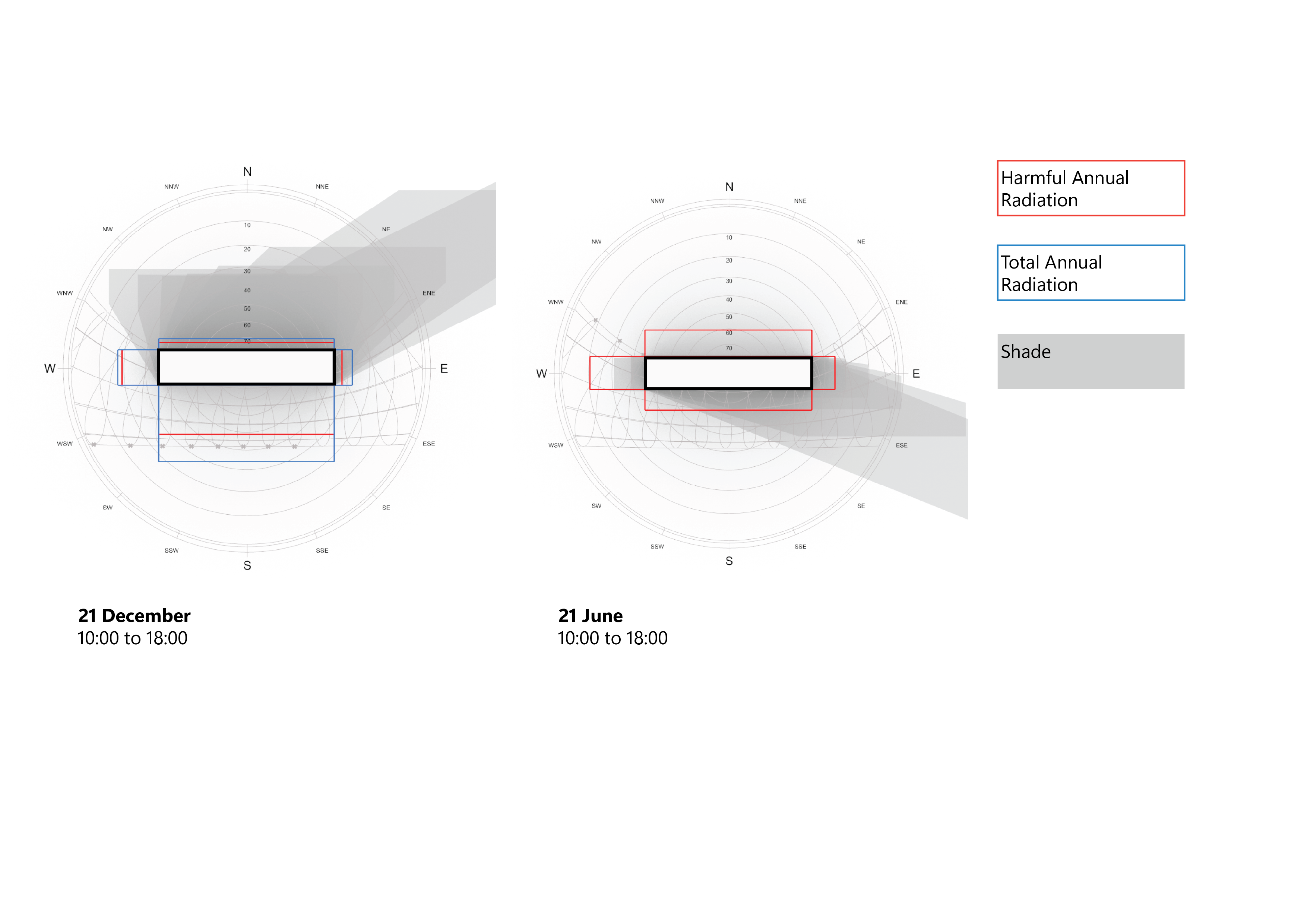
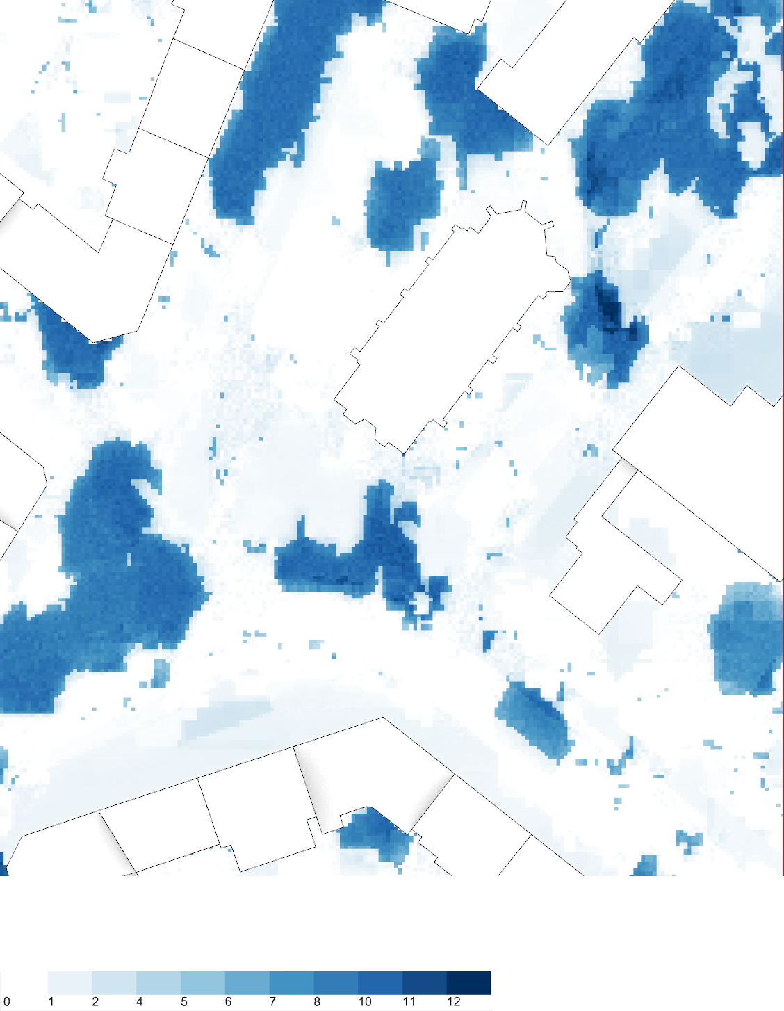
EB: I can describe that best by talking about the two scales the projects I'm involved in revolve around. There's the urban scale, where I mostly consult on climatic aspects of masterplan designs. The thought process begins with understanding which climatic qualities we would like to enforce on outdoor spaces. How to design places that are less prone to heat stress, which support natural ventilation without creating wind hazards during winter is a recurring theme in that sense. So it's mostly about designing with the sun and designing with the wind.
And the same principles are applicable when we talk about the building scale, where I look at the building envelope: how to shape geometries and orientations, what materials are advantageous, how to design the openings in a way that creates good daylight but less overheating? Programme considerations and occupancy, for example what functions these spaces are hosting, during which times of the day or of the year, can also be other decisive factors, which can lower the reliance of buildings on mechanical systems. My interest here is mostly around the effect of passive measures. I use simulations for reassurance, but I wouldn't say they're currently the main bulk of my work, or what I consider the challenge in my work.
AM: So where do you see AI having the biggest impact on your area?
EB: There are two promises of AI: it's supposed to make the work better, faster. On ‘better’ I'm not very sure, but I'm more or less convinced by now that it does make these processes faster. The catch is that it also closes the discussion early. Several years ago, an architect couldn't run a climate simulation themselves, so they'd have to bring specialists in and that meant a real back-and-forth, several of us working on the problem together over time. Now, with all these tools, increasingly AI-assisted, the architect can run a simulation, get a result, feel they've understood the question, and the discussion just stops there. They work faster, yes, but the conversation ends early in the day, before many people have had a chance to shape it together. What I'd expect in the future is fewer people involved in each project, and the design process finished faster.
AM: Could AI make climate and sustainability expertise more accessible to architects without specialist knowledge? And is there a risk it creates an illusion of expertise i.e. that it flattens or dilutes what a specialist really knows?
EB: I definitely agree. I'd compare an AI assistant or any other algorithmic workflow to a human specialist. You have professionals who are very well versed in what they do, and others that are not or who are maybe still figuring things out. So there will be cases where AI supports you and makes things go better and faster, and cases where it creates misunderstanding, specifically that risk of the illusion that you've actually fulfilled the task when you haven't. It's the same as having a specialist in the loop: it depends on the knowledge and the quality of the workflow you're using. And the startup scene is so alive right now, every day there's a new software that can run all these simulations. So with what's out there currently, I do see that effect of creating the illusion. Maybe in the future it won't be the case, but I'd definitely say it's quite a risk.
AM: Is there an area you'd not want to see AI take over?
EB: I can see AI being applied in very specific use cases, but I wouldn't like to see it as something that guides the design process. I'm not a fan of configurators, for example: workflows where you can generate masterplan or layout designs with a mouse click. It goes back to the distinction between holistic technologies and prescriptive technologies, which Ursula Franklin has noted in her work. There's this distinction, prescriptive is when you know every step you need to achieve; and then you have holistic technologies, also linked to crafts, for example pottery makers. And for me, architecture is a craft. So I wouldn't want a design workflow where you press some buttons and you get a finished building out of it, because design as a process isn't only about achieving certain KPIs. It's also about involving communities, involving people whose lives actually get affected by those decisions.
AM: Then where does human insight hold its value?
EB: The role of the climate specialist specifically is changing. If you look at the last century, it was doctors and not architects who were keen on designing ventilation schemes for buildings because of health hazards. With the advent of air conditioning mechanical engineers came into the loop. Then, some years ago, and I'm part of this group, architects with computational design skills started emerging, who got hired in positions where they would carry out building simulations. And now we're at the point where that might not be needed at that scale, because the threshold for using computational tools has been lowered. So I think it's about having the knowledge that sits at the intersection of different topics. It's not only the climate topic, if you look at constructability, or material topics, the building industry is also a very local thing, it differs from country to country. Having the knowledge that sits at the intersection of all of these, and consulting on the best alternative in terms of climate for a given site, given people, that's something I see myself moving towards. And again, it's not a given that simulations always truly reflect what’s really happening out there, the real world physical phenomena. So there's also a process of learning from past projects, from the way you live in your city, the buildings you visit. It's not a discussion that can be merely reduced into a very prescriptive way of following the same steps.
AM: Considering insights, can you ever really hold an AI accountable for what it tells you?
EB: That's the point I'd raise also: can you actually hold it accountable for what it's saying? It takes time to develop trust when working with other professionals, you learn who they are through hearing them speak about who what they do, notice how versed they are on topics, observe how they live their lives and what beliefs they share. I feel that this does not happen while interacting with AI-generated answers. I remain sceptical.
AM: Where would you most want to see AI help on climate specifically?
EB: I'd see it in trying to better understand physical phenomena. What most of the time happens with these climate AI-assisted simulations is that they're built based on results of simulations, they're not built based on what's happening out there. It can be something build on top of simple machine-learning models as well. It's difficult, of course, because you have to get out of your office and try to build a good database. That's where I'd actually be interested in seeing more work done, something that extends the capabilities of simulations, because they're very idealised situations where a lot of approximations happen
AM: As you have mentioned environmental decisions rest on assumptions about a future climate we can't really predict. How do you design for that uncertainty rather than for a single scenario and is AI any help there?
EB: The current discourse revolves around climate models. A lot of climate research centres have simulated different scenarios. But even within that research it's not necessarily clear what we should expect for the same scenario, if you open the datasets from different research centres, you get very different results. So it's not about trying to find what exactly will change, because we won't be able to know that. It's about trying to make more robust buildings. The key word there is robust: don't prepare for a specific future, but for a range of them. As for how AI fits into that, maybe it can help in predicting better the effects of climate change, honestly, I don't really know; for me it's more about changing our approach.
AM: AI has its own environmental footprint. How should the industry hold that tension?
EB: This is not a problem that comes from the building industry itself. In academic discourses architects always put themselves in this position where they have to improve the future, but actually it's a problem about how we live and how we've structured our economies. We're not building because we have skilled architects; we're building because there is an economic profit in doing so. So it's not just about pointing to our individual decisions, pointing to every individual about what they can do best. It's about treating the system as a whole.
AM: If we spoke in ten years, what would tell you AI had a positive influence?
EB: I'd be happy to be in a position where AI takes care of the boring small steps along the way: for example supporting interoperability between different software, different specialities - if I never had to take care of 3D models again. It's this idea of using it for the less interesting bits in the design. And I'd find it dreadful, actually, to see configurators where architects are just people who press buttons.
AM: So would AI have a positive influence if it brought more people into those multidisciplinary, cross speciality conversations, helping everyone hold their own place at the table, and making sure each voice is actually heard?
EB: Definitely. Now that you say it like that, it could also be a kind of project manager, a position that actually makes sure people are heard, since because of many different factors you do have teams that speak about certain aspects more than others. And what I mentioned earlier, the data discussion, just ensuring a building model can be used between different specialists remains to be a challenge. Perhaps AI as a technology could support the emergence of more intuitive tools that support a holistic design process, but then again for me the decisive factor in this discussion remains the professional, if they choose to be aided by algorithmic processes, a level of technological skills would need to exist so that they do not diminish to being just a prompter.
What stayed with me from this conversation is how closely Erida's concerns mirror the ones I meet in my own architectural speciality. I came in expecting the challenges of environmental design to be a world away from inclusive design, and instead we kept landing in the same place: the danger of averaging, of optimising for a single predicted case, be it a person, or a climate, that doesn't really exist, and of mistaking a clean simulation result for the messy reality it stands in for. Her answer, again and again, was to keep people in the loop, the communities a building serves, the specialists around the table, the human judgement that reassures rather than the tool that decides. It's a quietly hopeful position. Not that AI will make us better designers, but that, used with some scepticism and for the right things, it might free us to spend more of our attention on the judgement, the context, the craft.

AI declaration
This interview was conducted in conversation and transcribed with AI-assisted transcription using Microsoft Teams; the transcript was then minimally edited by the author for length and clarity, with the interviewee's approval of the final text. The accompanying image was generated using GPT-5.6 Sol, guided by the author's careful prompting to represent the themes of the discussion abstractly rather than to depict any real person, place, or event.
In the first issue of our new mini-series ‘the mainframe’, Annamae Muldowney interviews Erida Bendo, a Berlin-based architect, computational designer and environmental design specialist. Through expert interviews, the mainframe examines the impact of Artificial Intelligence on design. Each interview focuses on a different intersection, with this issue focusing on what AI can, and cannot, do for climate.
Read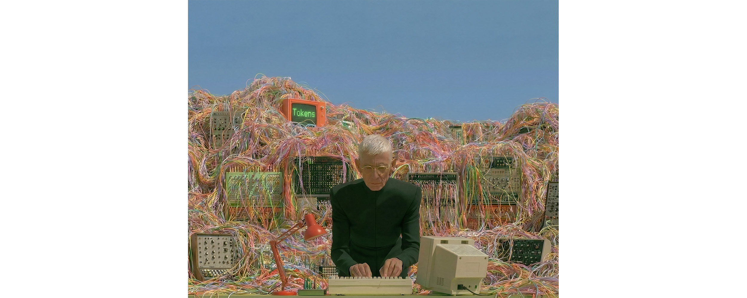
These difficult questions are not idle speculation. The capabilities of AI are increasing by the day, and our long-held convictions on creativity and design are being questioned [1]. Personally, I have transitioned from working fifteen years as an architect and I now lead AI development, strategy and research at a large architectural practice. I have been observing these tools being used at every project stage and can see areas where they are working and are not. One thing I believe is certain, is that the way we have worked previously is now broken.
Irrespective of whether you're sceptical on AI, unconvinced by what you've seen, or if you've already integrated AI tools in your armoury and are familiar with how they are transforming work from the inside, the context to AI's role in creative work is constantly and rapidly changing. Some are less concerned about the capabilities of AI and more about the consequences for the industry, the values, and above all, its impact on people. These are all valid concerns.
Whether AI can design, and whether AI can be creative, are two different questions. Conflating these questions is where most of the current debate loses its footing. AI's capacity to design, in the sense of performing the tasks that constitute a design process, is largely a question of model capability, and the answer is changing at a pace that is difficult to keep up with. We are arriving at a point where AI agents can begin to orchestrate parts of the process, but without meaningful guidance they have no understanding of why they are doing what they are doing. The creative process is not always linear and is often not compatible with delegation. It does not move through predictable stages with clear milestones. It is continuous, unstructured, at times chaotic, and the understanding that guides it is often something a designer knows intuitively but can often find difficult to articulate, even to themselves. An agent can follow a sequence, but it cannot feel its way through one.
Whether AI can be creative is a question of a different order entirely, one that sits closer to what it means to understand something, to care about it, and to make something in response to that understanding. Creatives are perhaps better placed than anyone to navigate this technological shift, because the answer to the article's question has less to do with what the technology can do and more to do with what we can and will always bring to our work.
Architect and theorist Christopher Alexander devoted much of his career to a question that is simple to ask and very difficult to answer: why do certain places feel deeply, immediately right in a way most people sense but few can put into words. Alexander described design as a search for good fit between form and context, where context meant not a background condition but the full weight of human needs, constraints and relationships easy to miss unless fully understood; 'We are searching for some kind of harmony between two intangibles: a form which we have not yet designed and a context which we cannot properly describe'[2]. His concern was that reducing design thinking to a transferable system passes on the logic but loses the life. Production is a large part of the work we do, but the harder challenge has always lain elsewhere. That gap between systematic knowledge and embodied understanding is exactly what AI now forces us to confront again.
Ethan Mollick, a professor and leading researcher on AI & innovation and its impact on society, describes the form of AI we have ended up with as 'deeply weird in ways that we don't fully understand yet'[3], and warns that treating it like any other tool will always produce less useful outcomes than implementations that embrace that weirdness. My observation in architectural practice, is that the people who are most willing to lean into that strangeness are the ones most capable of influencing design direction, approaching these tools out of deep curiosity [4]. AI only flattens creative work when it is used to seek the average and remove judgement from the process. When designers invite the strange instead, it can lead to something genuinely intriguing.
What AI tools can offer, more than anything else, is freedom. Freedom to explore further, to reach into areas that once felt out of range, to test an idea without the weight of technical limitation slowing the thinking down. Designers are following their curiosity into new territory and finding that the boundaries they once worked within were never as fixed as they seemed. The curious are building their own tools entirely, which is perhaps the purest expression of that freedom, moulding the technology around their imagination rather than the other way around.
We come to the realisation that the process can be delegated, but the understanding behind it cannot. This is not a new concept, and it has always been framed as something existential. CAD was going to be the demise of the art of drawing, CGI was going to hollow out cinema, the sewing machine was going to end fashion as a craft and of course the video killed the radio star. Each time, the creative industry absorbed the tool, expanded its reach and moved onto the next challenging question. The pattern is consistent enough to resist the urge to panic.
So, is creativity still inherently human? My immersion into the space between suggests to me that the answer is yes, and the more capable these tools become, the more important it is to understand why. What AI offers is the removal of friction between a designer and the full scope of their thinking, and while that is incredibly valuable, it is not the same thing as being creative. Creativity is not something the tools produce. It is what we bring to them, the direction we set, the judgements we make, the willingness to keep questioning whether the work is right until we believe that it is.
Alexander asked this question before the tools existed and arrived at the same place: creativity lives in understanding, and understanding remains ours to develop or to neglect. The future belongs to those willing to embrace curiosity.
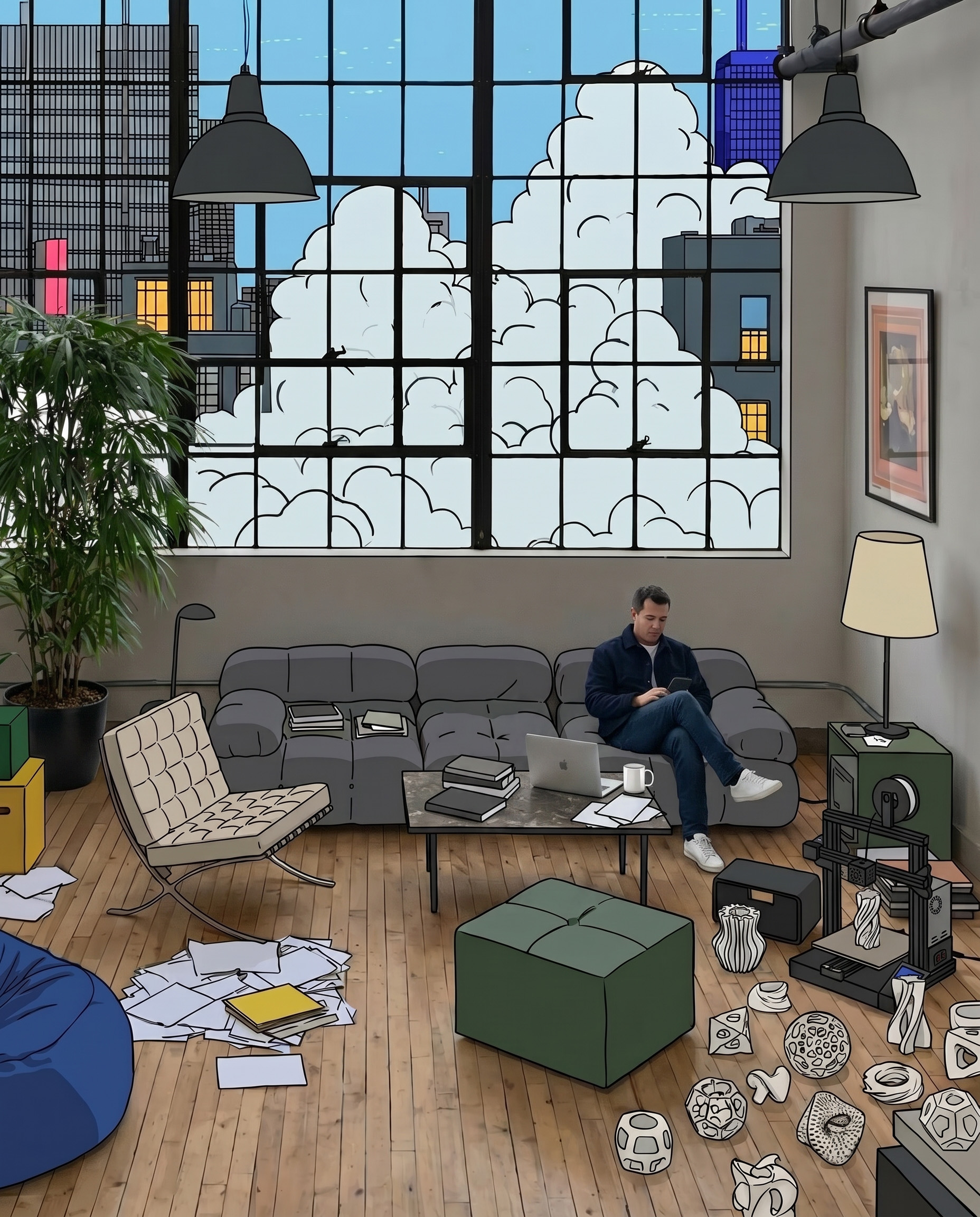
Disclosure of the use of AI is an important aspect of the work that I do. For transparency: I have used Wisprflow to dictate my thoughts, and Anthropic's Claude Sonnet 4.6 to map these themes for the article concept. The article was edited in collaboration with Cormac from TYPE through phone conversations and document exchanges. The images throughout have been generated with MidJourney. The content and ideas behind the article are my own.
Creativity has long been the human capacity we considered beyond the reach of any machine. Most can agree that Artificial Intelligence (AI) has crossed the threshold of being on the periphery to our work and is now embedding itself into our thinking, our workflows, and our society. As these shifts begin influencing the creative industries, we have to ask: what truly changes, and is creativity still what makes us human?
Read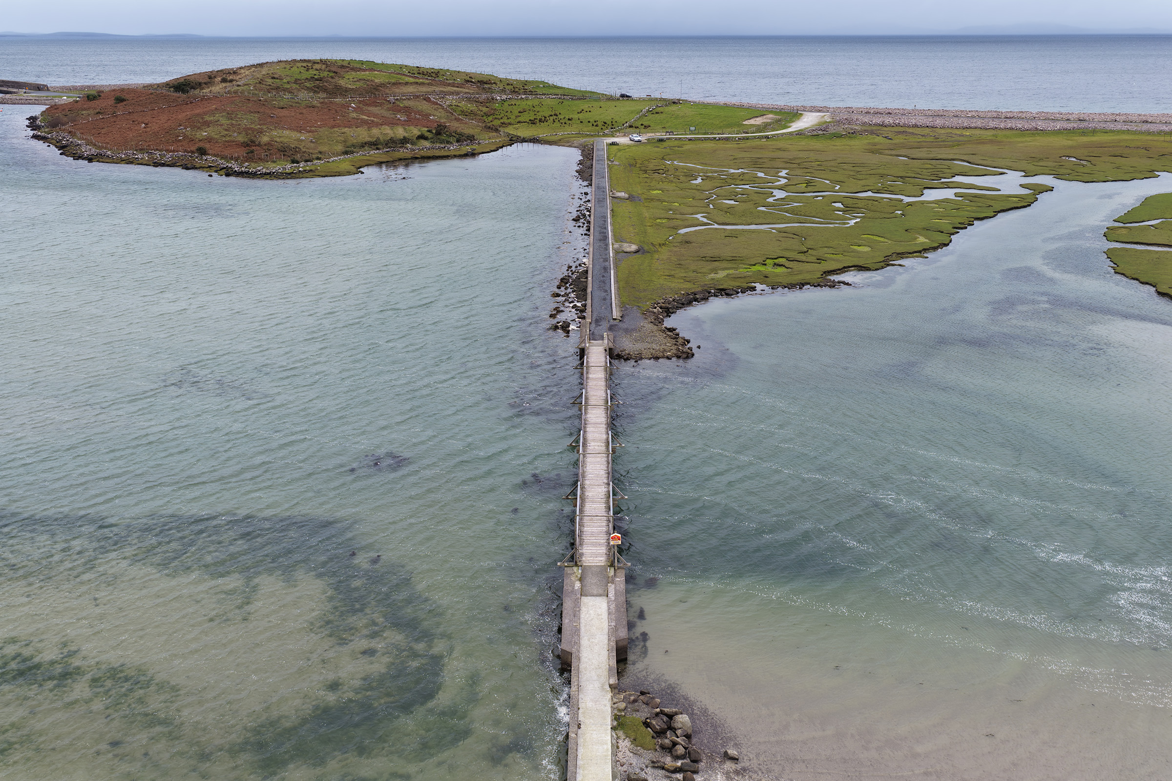
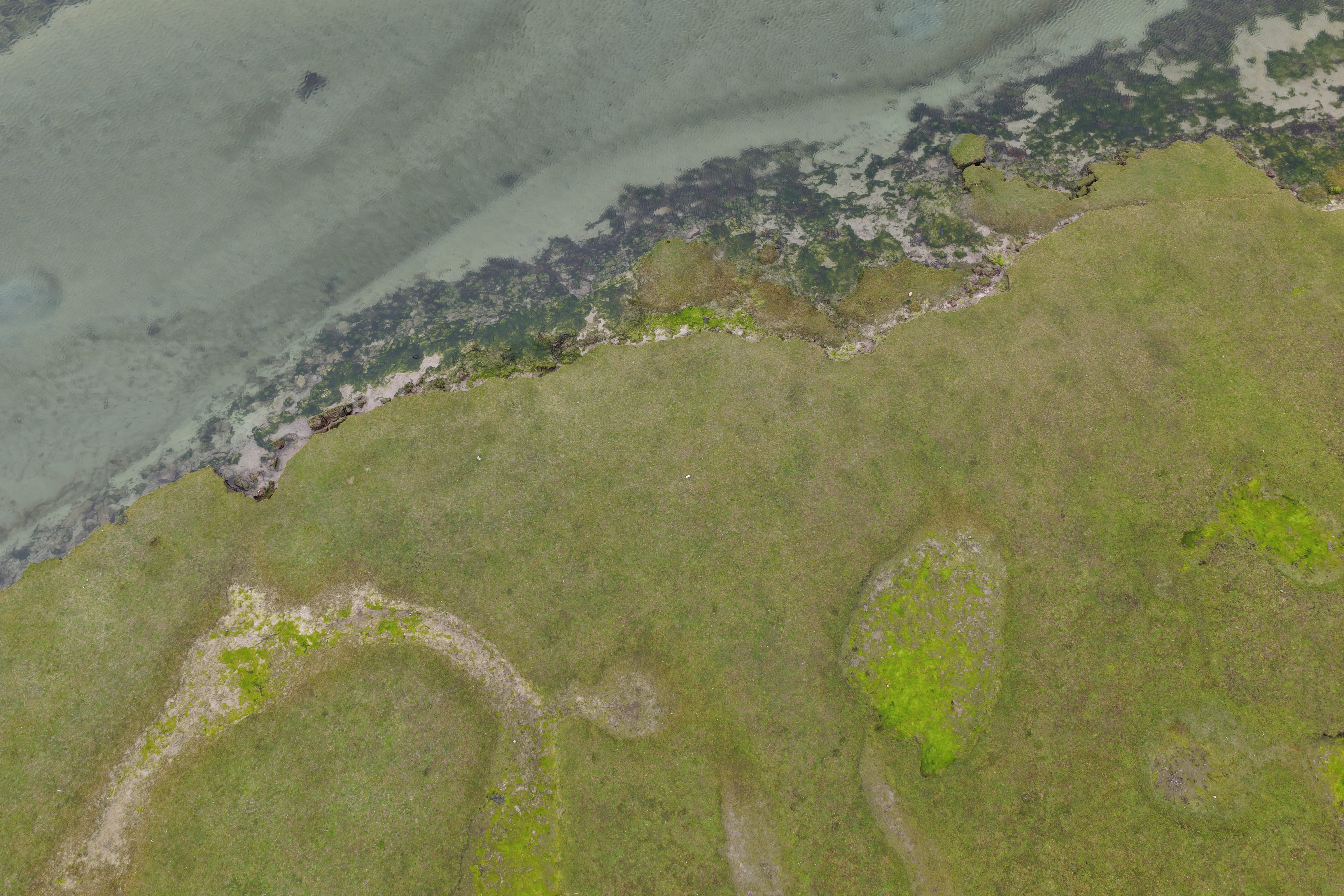
In 2024, Coastal Register received the SOM Foundation European Research Prize [1], an architectural research-for-practice project at the coast of Mulranny in County Mayo - a national Decarbonising Zone (DZ) with an objective of reducing carbon emissions by 51% by 2030 [2]. Across three phases - framework, fieldwork, groundwork - the project engages with the community, stakeholders, cross-disciplinary researchers and practitioners, and politicians. An emphasis emerged on data collection as a method of bridging consultation and capital funding, underpinning protective / restorative landscape-based design interventions, and linking research and practice with policymaking.
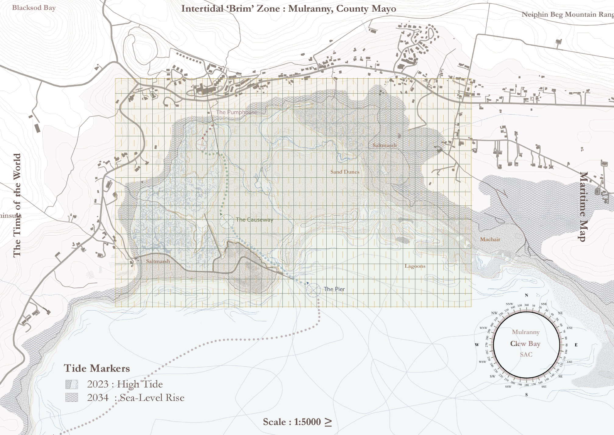
Within this context, it is a timely moment to focus on policymaking - not because the coast has suddenly become unstable, but because its instability is becoming impossible to ignore. Writing in April, after a winter of storms, the aftermath is now visible: collapsing paths, retreating edges, failing infrastructure. At the same time, this is the point in the year when reports are published, priorities set, and funding decisions made. It is a moment suspended between damage and response - when policymaking becomes most consequential. In this context, Mulranny DZ is acting as a test-site for examining whether existing research, practice and policy frameworks are equipped to address complex coastal challenges.
In its basic sense, the coastline is the boundary between terrestrial and marine environments - where land meets sea. However, the coast is not a permanent line drawn on a map, but a dynamic system in which land and sea are constantly eroding and accreting in response to natural and human time-scales [3]. Historically, the response to coastal erosion is to build structures for resistance, ensuring this boundary remains fixed. This is done under the assumption that the coastline has always been in its current position and must never be allowed to change. However, coastal processes operate on a parts-to-a-whole relationship. For example, building a sea wall in front of an eroding cliff may stop that area from eroding, but it also stops sediment from that eroding cliff from entering the coastal sediment budget. If this sediment is supplying beaches down drift, these beaches would erode. Hence, solving one erosion problem has created another, embedding a cycle in which each intervention necessitates another [4]. Over time, this defensive logic has been institutionalised through engineering standards, planning systems, and funding mechanisms which prioritise site-based resistance over system-scale processes [5].
This assumption is now being questioned, with research proving the effectiveness of ‘soft’ nature-based solutions over traditional ‘hard’ infrastructure. NATURESCAPES demonstrates how saltmarshes attenuate wave energy and function as adaptive coastal protection infrastructures [6], while SLOWATERS builds agricultural land through water retention measures [7]. Studies in the Maharees [8] and Grattan Beach [9] examine dune systems as socio-ecological landscapes shaped by governance. BLUE C positions wetlands as carbon-sequestering systems [10], while SWAMP investigates measures to improve water quality in peatlands [11]. Taken together, their work makes clear that the issue is not a lack of knowledge, but the absence of policy frameworks capable of acting on that knowledge at the large-scale at which coastal systems operate.
.jpg)
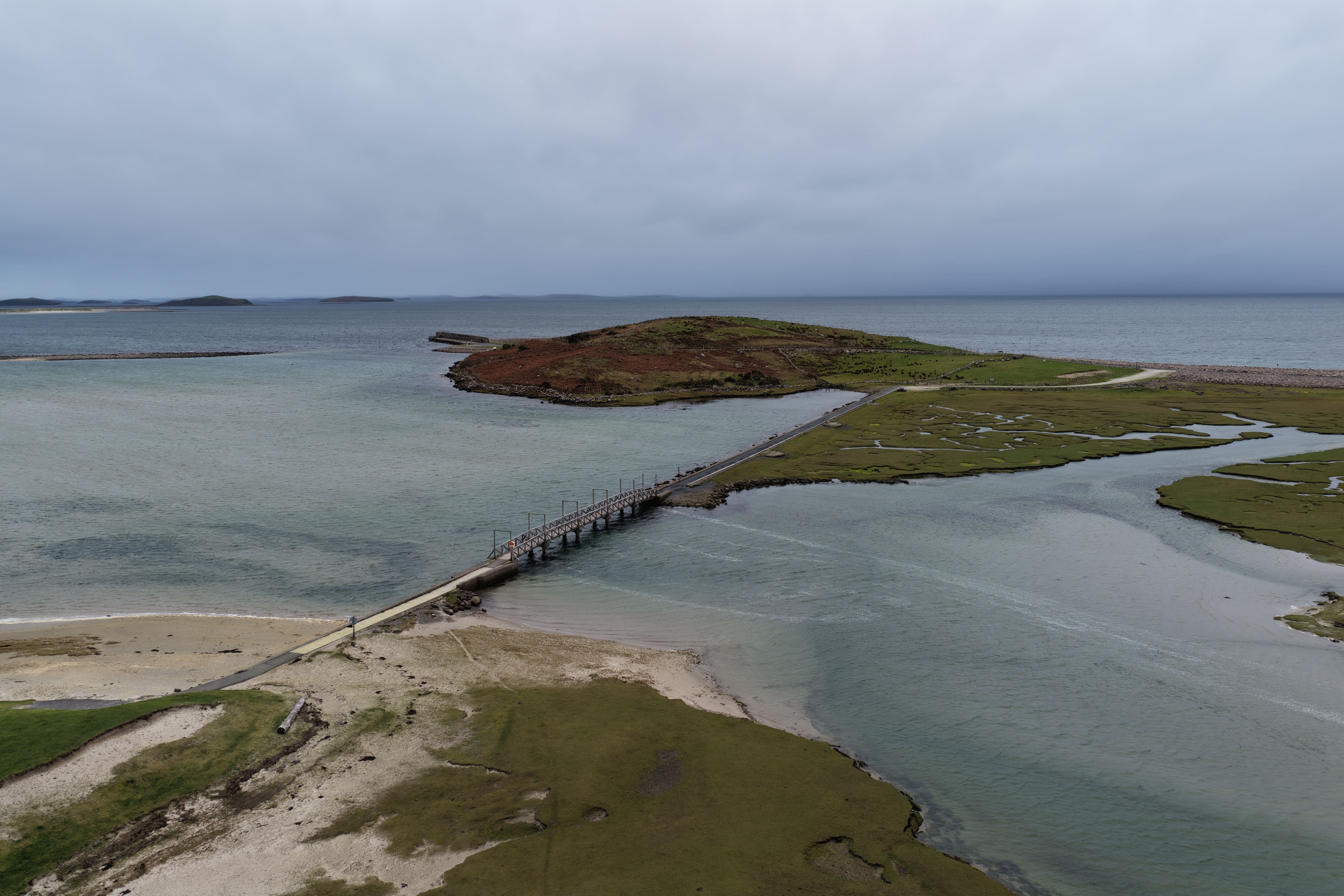
At Mulranny, data collection has become a design practice rather than a preliminary step, operating as a mechanism for both design and policy action. Rather than introducing infrastructure to control natural processes, at this stage the project proposes light-touch infrastructure for recording cultural, ecological, and legislative conditions through drawing, mapping, and photography - such as plinths that direct repeat photography towards calibrated viewpoints. This is producing an evidence base that can support both design decisions and the buy-in, risk, need, and impact required for capital funding. By involving the community as citizen scientists, the project also raises awareness of coastal change. In doing so, it aims to reduce reliance on reactive interventions and support the saltmarsh as primary infrastructure - a first, rather than last, line of defence.
If research and practice are aligning, why does implementation remain so slow? With Paul Lawless, I posed parliamentary questions and found that Ireland’s policy context is fragmented.
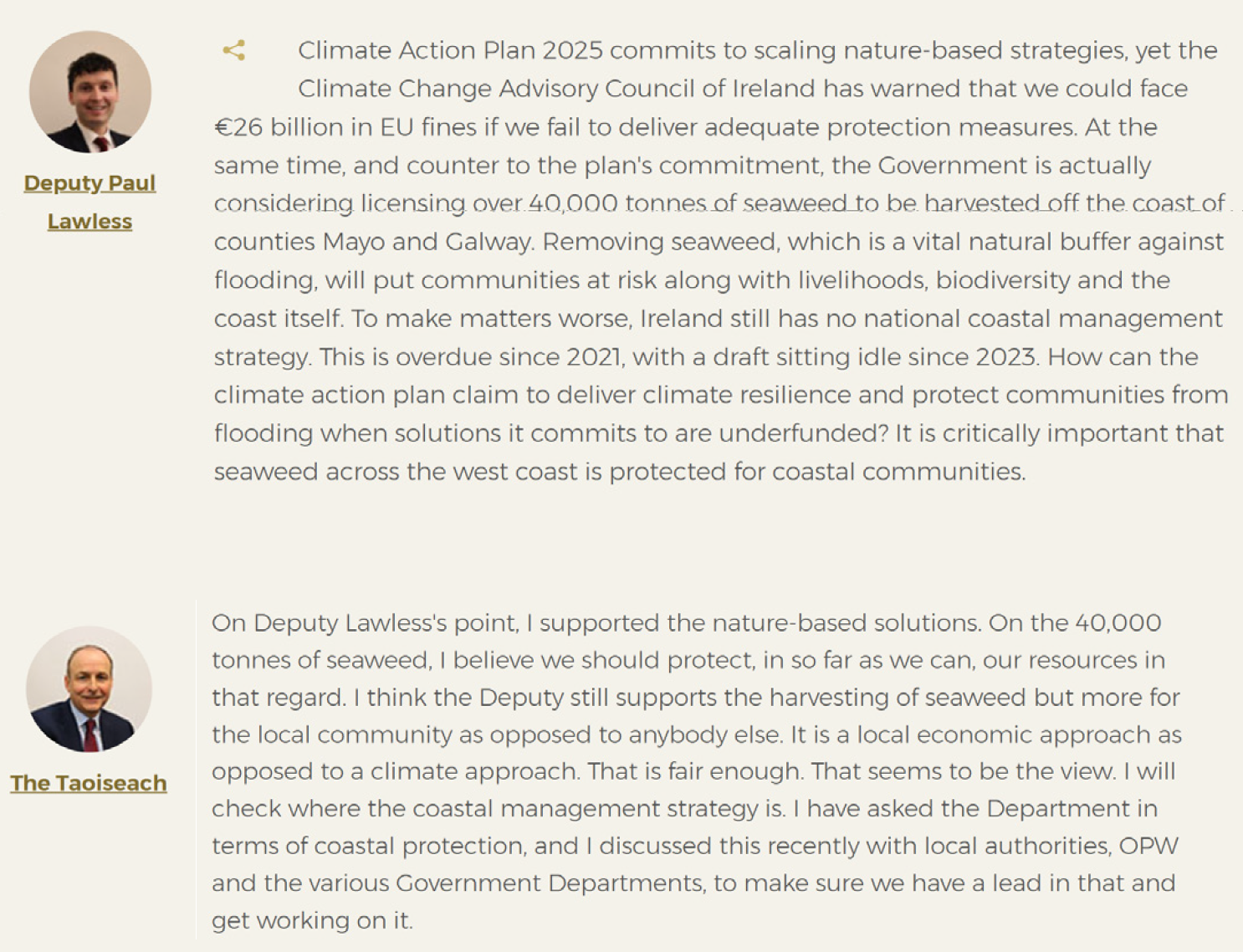
A key challenge was simply identifying who is responsible for managing the coast. The answer is not one particular Government department – rather, at least nine departments have jurisdiction over the coast, alongside layers of commonage and private ownership [12]. It is also problematic that approximately twenty public bodies with a remit in this area have their own governance structures and policy objectives and never the twain shall meet.
This fragmentation extends to the data that underpins investment. Baseline infrastructural and ecological recording is incomplete. There is no national inventory of coastal infrastructure [13], meaning we lack an understanding of what exists, requires maintenance, and who is responsible. A national survey of saltmarshes was carried out in 1998 [14], and the Saltmarsh Monitoring Project was then setup between 2006–2008 [15], with limited partial revisits in 2016–2017 [16] and no subsequent monitoring programme since - leaving gaps of over a decade between site observations.
Even ownership of the coast is not straightforward. While the Foreshore Act 1933 / Maritime Area Planning Act 2021 presumes the foreshore to be state-owned, this presumption is not absolute, and the spatial extent of state- and privately-owned foreshore has not been comprehensively delineated [17]. This is further complicated by coastal change and historic reclamation, where legal boundaries do not consistently align with physical landscapes [18]. In practice, licences may be issued for areas the State is assumed to own, despite the absence of a clearly defined spatial or legal framework [19]. This creates uncertainty in decision-making and presents practical barriers for communities and local authorities.
These issues are compounded by the absence of an overarching policy framework. Despite thirty years of discussion documents and legislative proposals, Ireland remains the only island nation without a national coastal management strategy [20 a, b], with only a report outlining how one might be prepared [21 a, b]. The National Landscape Strategy has lapsed without replacement [22]. The committee drafting Ireland’s Nature Restoration Plan raised concerns over the absence of funding for nature within the Infrastructure, Climate and Nature Fund under the National Development Plan [23]. This exposes a clear contradiction between Ireland’s funding framework and its legal environmental obligations. Binding European Union requirements oblige Ireland to restore at least 20% of its land and sea areas by 2030, yet the State’s principal investment framework extending to 2035 does not provide adequate support for achieving these targets. Instead, most of the fund has been allocated to MetroLink. Ireland is also already falling significantly short of its emissions reduction targets, highlighting a widening gap between policy commitments and implementation [24]. Indeed, Ireland’s record for implementing EU Directives that provide protection for coastal environments has mostly been reactive in response to infraction proceedings [25].
In Ireland’s policymaking context, the absence of a coherent framework is not simply an administrative problem; it shapes what can be known, measured, and ultimately acted upon at the coast. Where policy remains fragmented and data incomplete, decision-making will be necessarily partial and contradictory (26 a, b). At Mulranny, data collection has become a means of addressing this condition: a way of aligning lived experience, environmental processes, and design-thinking, while making these legible to policy. But evidence on its own does not lead to implementation. What is required is a department for the coast and a national coastal management strategy with funding attached, cross-departmental governance that aligns responsibility, and nature-based solutions treated as primary infrastructure rather than optional strategy. Without this, fragmentation persists, decisions remain inconsistent, and the cycle of damage and response continues.
The coast is not a fixed line; it is a dynamic, shifting environment shaped by erosion, accretion, tidal rhythms, and human intervention. However, while the coast moves, our policies remain static.
Read

Website by Good as Gold.